


On the 18 islands which make up the Faroe Islands, it’s not far between majestic brutal cliffs and the tranquil green interior. It’s no wonder the Faroe Islands slowly have gained more and more attention in the photography community. The rugged terrain, 1.117 kilometers of rocky coastline, waterfalls and picturesque small villages, combined with a relatively mild and often changing weather, it offers great photo opportunities. But the popularity comes with a price. The influx af tourists have taken its toll on the landscape.and many of the popular locations have introduced a fee to cover the costs of maintaining the area.
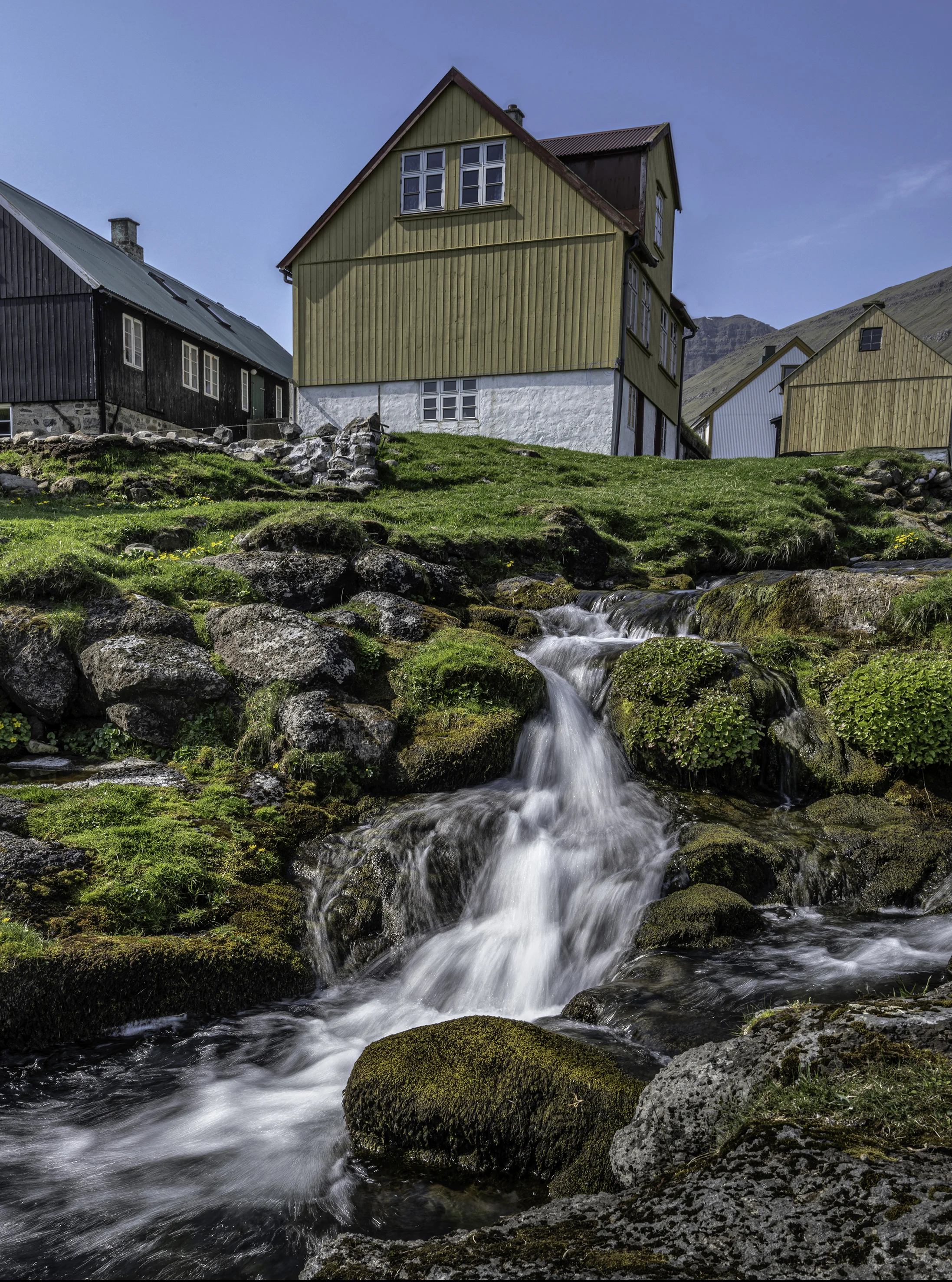
Saksun is located on the northern part of Streymoy. It is a small tranquil hillside village with a church and 14 inhabitants. The spectacular settings is now so popular, that the area is fenced in to prevent the crowds from wondering all over their private property. You can though get to access the fjord paying an entrance fee.
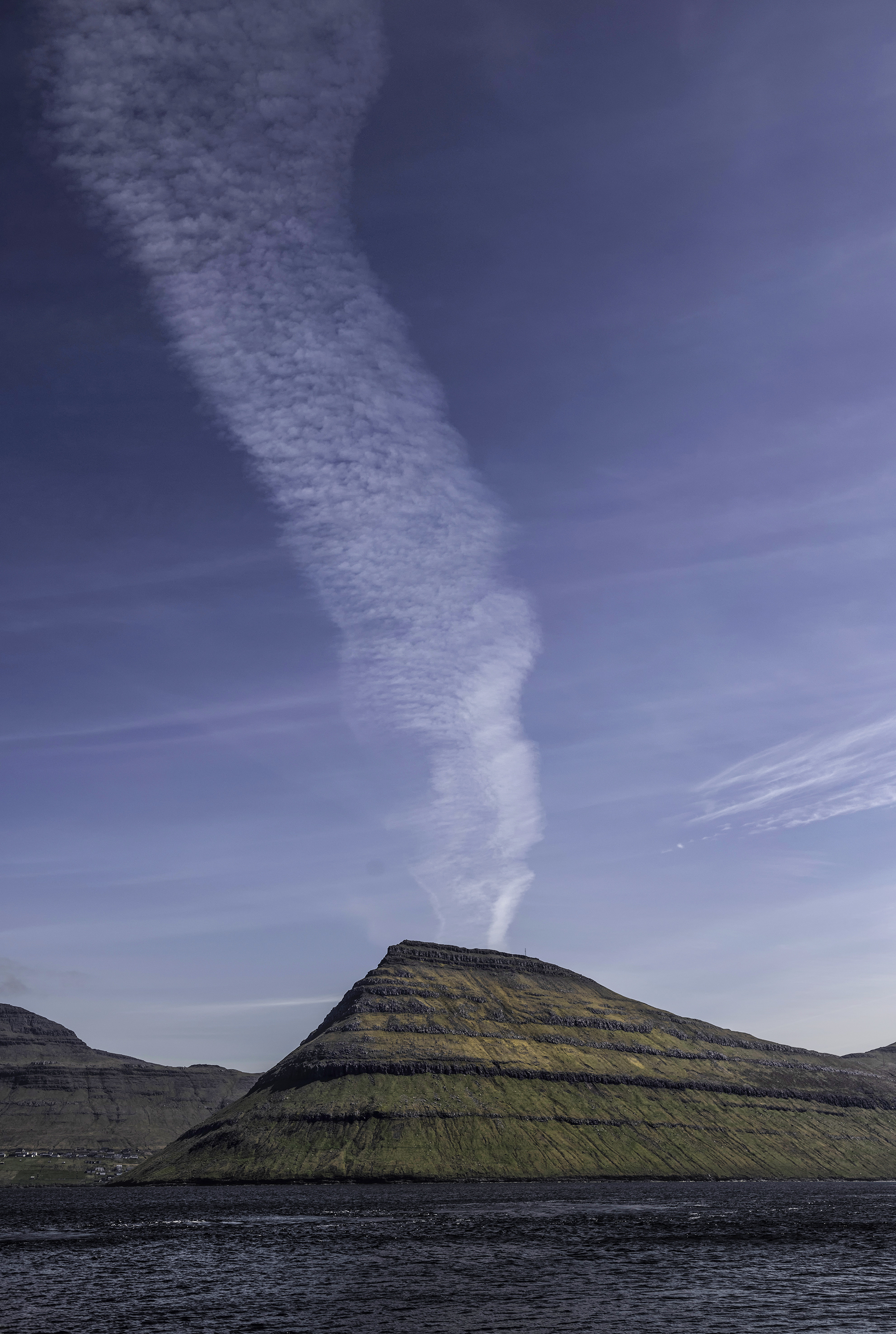
The village of Tjønuvik is located at the bottom of a small fjord on the most northern part of Streymoy. Just before you reach Tjørnuvik, you drive along a steep road along the rugged coastline.
From Tjønuvik you have an impressive view towards Eysturoy and Risin and Kellingin. The two see stacks with their heights of 81 and 68 metres underline the massive size of Eysturoy.
The cliffs surrounding Tjørnuvik offers great nesting places for the rich birdlife.
The village of Gasadalur lies on Vagar between green fields and soaring mountains on all sides. You could only reach the village by boat, foot or helicopter, but since 2004 the main road was led to the village through a tunnel. The view on Gasadalur with Mulafossur waterfall that falls of the cliff is just spectacular.
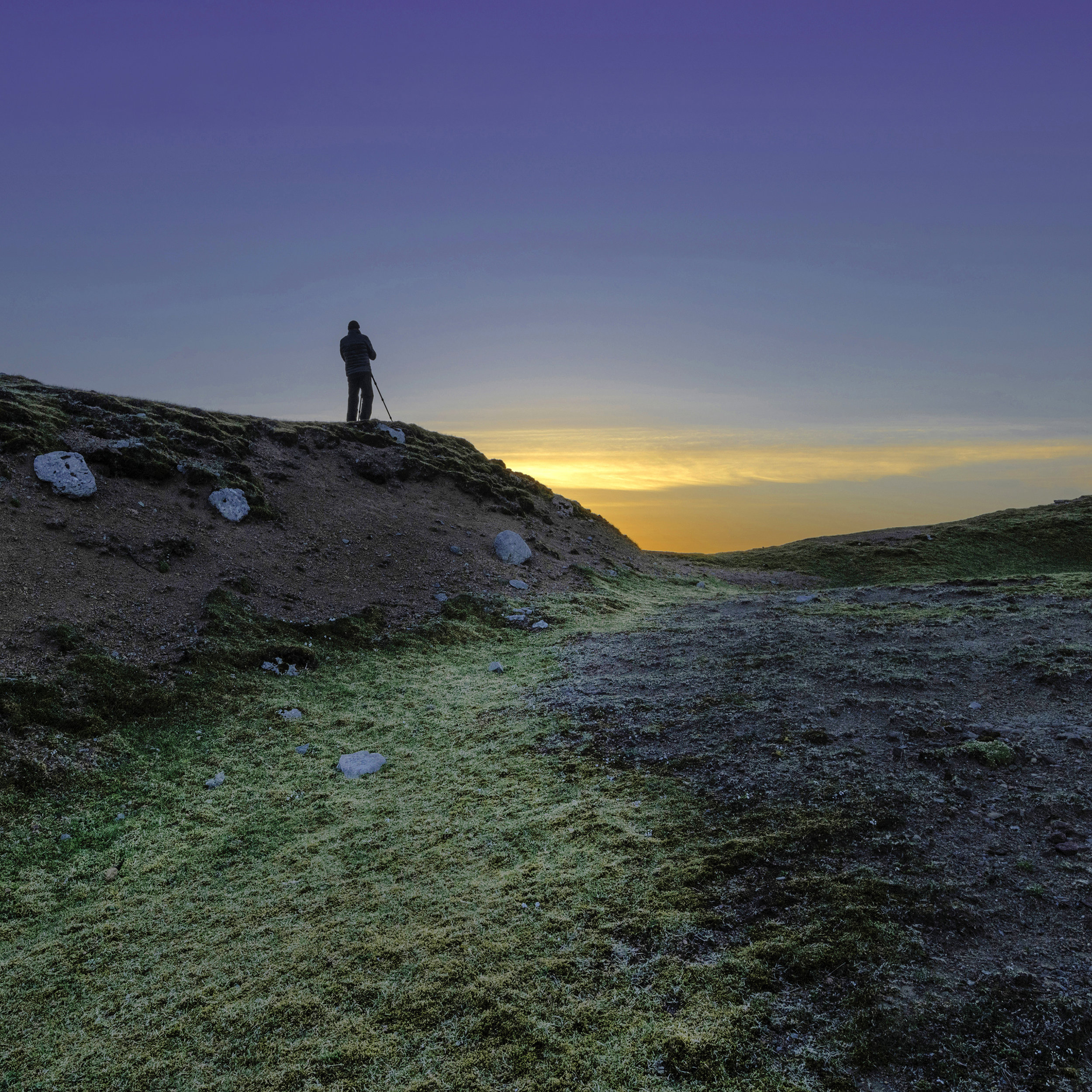
Driving from Thorshavn on the old main road across the mountains you will pass a small unmarked road leading further up the mountain to a view point above the clouds.
On a clear day you can see Hestur and Koltur Islands and in the distance, Vagar, but our view was obstructed by low hanging clouds. Anyway, the view was fantastic and we were reworded with an amazing sunset.
Driving early in the morning from our base in Thorshavn towards the village of Gjógv on Eysturoy, the morning mist lifted along the cliffs.
After crossing the bridge between Streymoy and Eysturoy, the road to Gjógv offers plenty of great vistas.
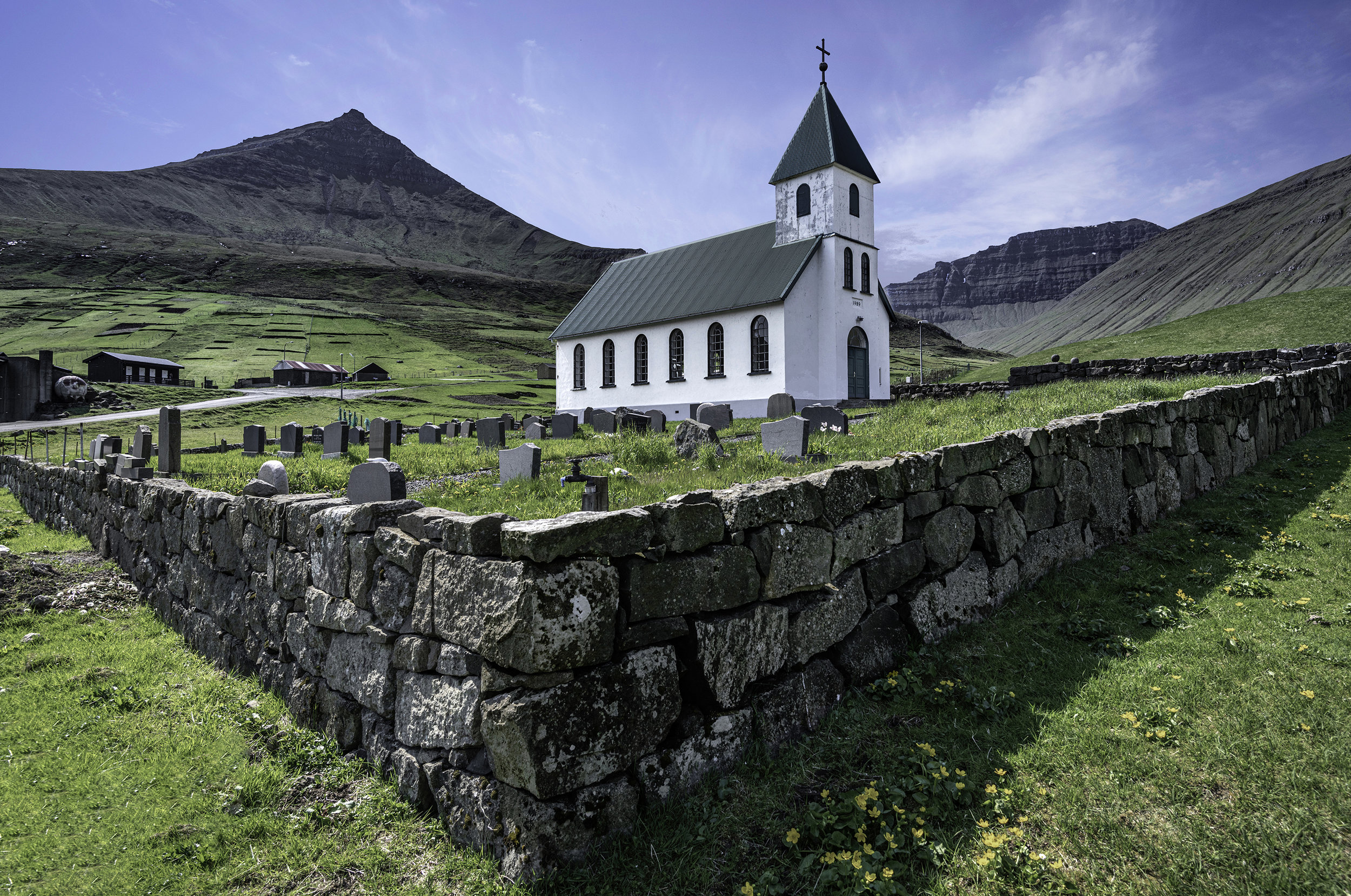
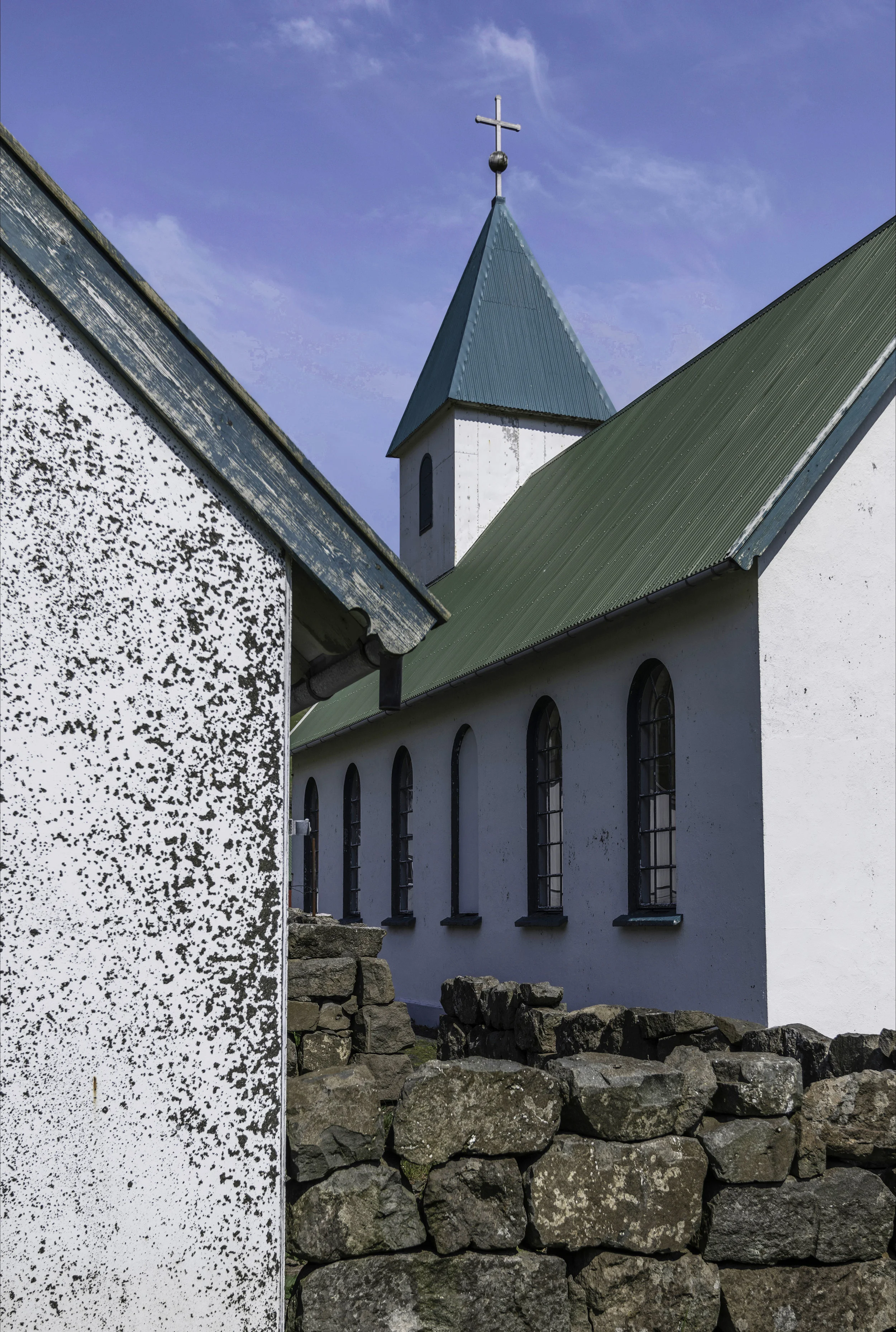
One of the oldest wooden churches, Funningsfjøður Church, is from 1847. It’s situated beautiful by the river Stórás outlet in the fjord Funningsfjøður.
Many places along the coastline you see the characteristic cirkular basins. They are breeding places for the high quality Faroe Salmon.
Gjógv is the most northern village of Eystruoy, named after the 200 metre long see-filled gorge that runs from the village into the ocean. There are some great trails with spectacular views of the North Atlantic and surrounding islands.
View through the 200 metre long gorge towards Kalsoy.
View from Kalsoy towards Kenoy and Viðoy. Our plan was to photograph the small lighthouse on the northern tip of Kalsoy which is an iconic photo spot. We started out in bright sunshine…
… but reaching the lighthouse, it was barely visible in the clouds. Under optimal conditions, the best view of the lighthouse is walking along the very narrow ledge to the end of cliff, turn around and get the shot. For me with vertigo, I wouldn’t do it for all the money in the world. The surrounding view was never the less imposing.
The boat ride from Kalsoy to Eysturoy gives you a great opportunity to shot the impressive landscape from the see-side.
Our last day was spend on Vagar. Our first location was Trøllkonufingur, or the Witches Finger. The hike to get there is quite easy, and it ends at the edge of the cliff, with a clear view of the finger and Streymoy in the background.
Our next stop was Leitisvatn. The lake is 32 metres above see level, and with its 3.5 square kilometres, its the biggest lake on the islands.
We stopped near the main road and hiked along the path to the southern end near the ocean.
The view from the rim along the coast is magnificent. The small figure standing at the edge of the cliff, illustrates the monumental size of the cliffs. It is defenetly not a place for people with fear of hights.
A small island next to Tindhólmur shot between Bøur and Gasadalur.
The last stop was again Gasadalur, where the weather forecast for sunset where good - and we where not disappointed. The view was epic, with the setting sun behind the mountains, Gasadalur and Mulafossur.
The view of Mykines bathed in the setting sun was unforgettable.
Last rays of sunshine before driving back to Thorshavn.
Thorshavn is the capital and largest city on The Faroe Islands and its located at the southern end of Streymoy. The Norse established their parliament in 850 as the capital and Thorshavn has remained so ever since.
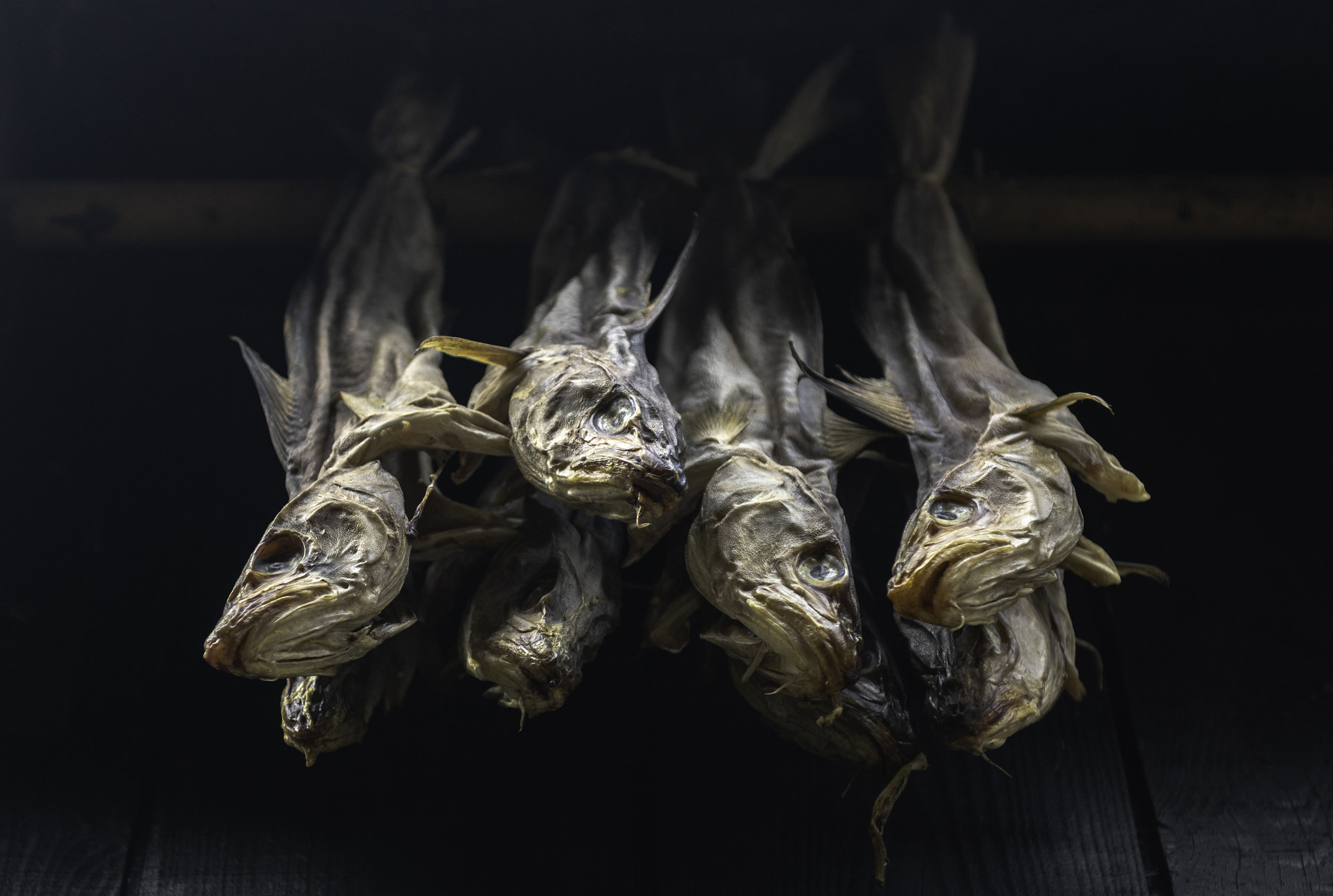
Dried cod has played an important role in the diet of the population and the tradition is still visible around town.
Tinganes is the historic location of the Faros government and the name means “parliament jetty”. The small main street is home to the oldest part of the city, with many of the houses dating back to the 16th and 17th centuries.The building at the end of the street is currently the governments main building.